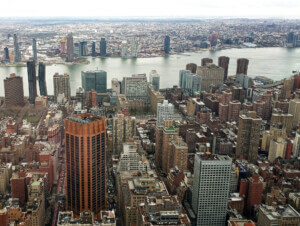
Welcome to New York City, 1609.
Building upon a decade of research by the Wildlife Conservation Society for the Mannahatta Project and Eric Sanderson’s book, Mannahatta: A Natural History of New York City is Welikia: an online mapping database that lets visitors view what Manhattan was like more than 400 years ago. But the Welikia Project aims to go further than the book and original study to map the ecology of the other four boroughs.
Welikia gets its name from the Native American Lenape tribe where the word (pronounced “way-LEE-kee-uh”) means “my good home.” As stated on their website, Welikia aims to provide “the basis for all the people of New York to appreciate, conserve and re-invigorate the natural heritage of their city not matter which borough they live in.”
The interactive map allows users to locate a block in Manhattan and check out what was (or wasn’t) going on in 1609 before Europeans arrived. For example, at Times Square—43rd Street and 44th between Broadway and 7th Avenue—one can find out how likely it was a mountain lion once roamed the area. In this scenario sadly, the probability of this is very small (but there’s still a chance) while the odds of a savage meadow vole are much higher. Aside from mammals, the chances of seeing birds, reptiles, amphibians, fish, and plants are also detailed. Like the meadow vole, hawks were reasonably commonplace too it seems—more so than pigeons. How times have changed.
Or perhaps they haven’t. From Welikia’s map, we can see that Mannahatta was a place thriving with biodiversity. Now, Manhattan is now a place celebrated for its diversity in a cultural sense. As Welikia points out, Mannahatta had more than 55 different ecological communities, giving Yellowstone and Yosemite National Parks a run for their money.
Welikia though isn’t satisfied with just focusing on Mannahatta. Their project aims to measure the modern biodiversity of New York City. Looking back 400 years ago, they hope to look at the ecologies that have prevailed, what has been lost and what can be improved. This information, Welikia says, can be used for educational purposes too. The “Manhattana Curriculum” has been created for schoolteachers, park rangers, and environmental educators.
Welikia also encourages people to contribute to the database. This can be done by visiting the online map and becoming a “Landscape Ecology Insider,” and gaining access to “unique resources about the current and historical ecology of your borough.”


